Advance Tools for Optimize Your Analysis (ENG)
Crafting Your Maps: Map Editor See Your Maps in Action: Map Viewer Publish Your Idea Here!Updated : 16 Jun 2025
Publish Your Idea Here!
Ready to showcase your mapping work to the world? With the Publication feature in GEO MAPID, you can easily share the maps, analyses, and geospatial information you’ve created with a wider audience. Not only that, but you can also publish the projects and layers you’ve worked on, making them accessible to the public directly.
This feature offers incredible flexibility. You can share your work openly with everyone or privately with specific individuals or groups via special invitations. This is a highly useful tool for various sectors, including government, business, and academia, to share valuable knowledge and information.
Let's Create Publication
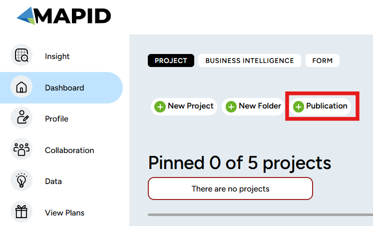
To start your first publication, select the Dashboard menu in the left sidebar. After that, you will see the Dashboard menu view as shown below. The publication creation process is very easy; just click the Publication option to continue.
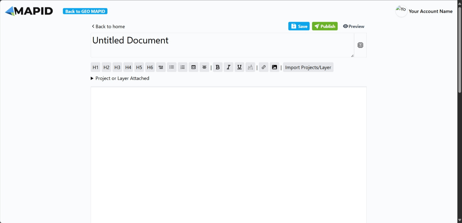
A new screen will appear. Click Write to begin writing.

Then, another screen will appear where you can enter the title as you wish.
Publication Features
Let’s briefly explore the various features available in the publication of the project you’ve created:
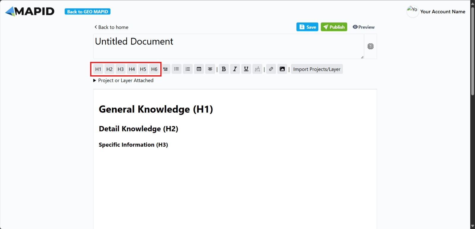
1. H1, H2, H3, H4, H5, H6 Buttons: These buttons are used to adjust the font size of the text you write, allowing you to customize the appearance of the text as needed.
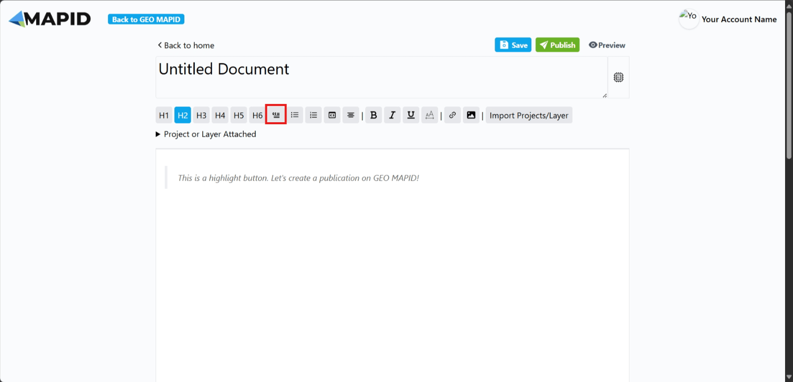
2. Highlight Button: This button is used to highlight text in your publication.
3. Bulleted List Button: This button creates bullet points in the text you write.

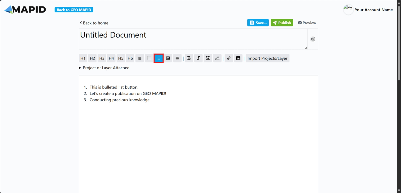
4. Numbered List Button: This button creates numbered points in your text.
5. Heading Button: This button is typically used to sign headings or subheadings.
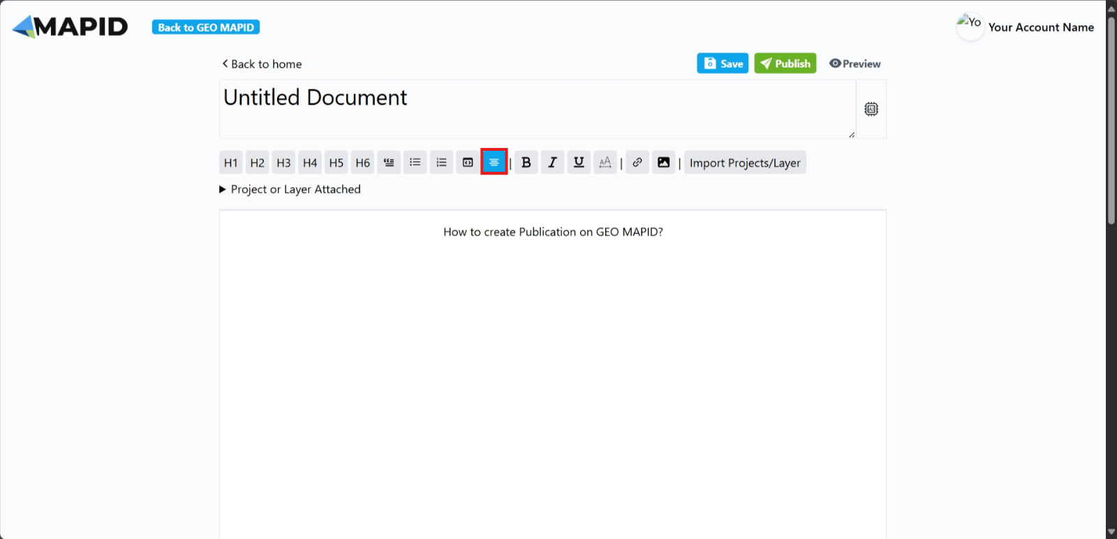
6. Center Text Button: This button centers the text you have written.
7. Bold Text Button: This button makes your text bold.
8. Italic Text Button: This button makes your text italicized.
9. Underline Text Button: This button is commonly used to underline text or highlight it.
10. Text Highlight Button: This button is used to highlight the text you have written.
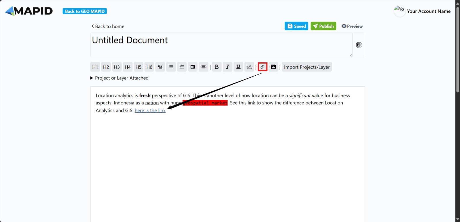
11. Link Button: Use this button if you want to add a link or URL to the text you’ve written.
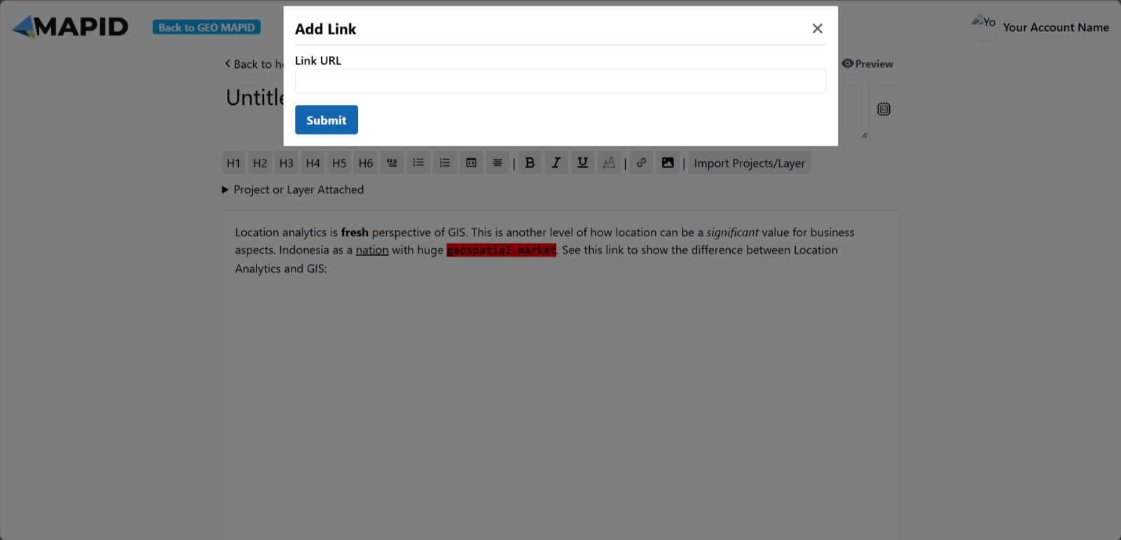
Click Submit, and the link you added will appear.
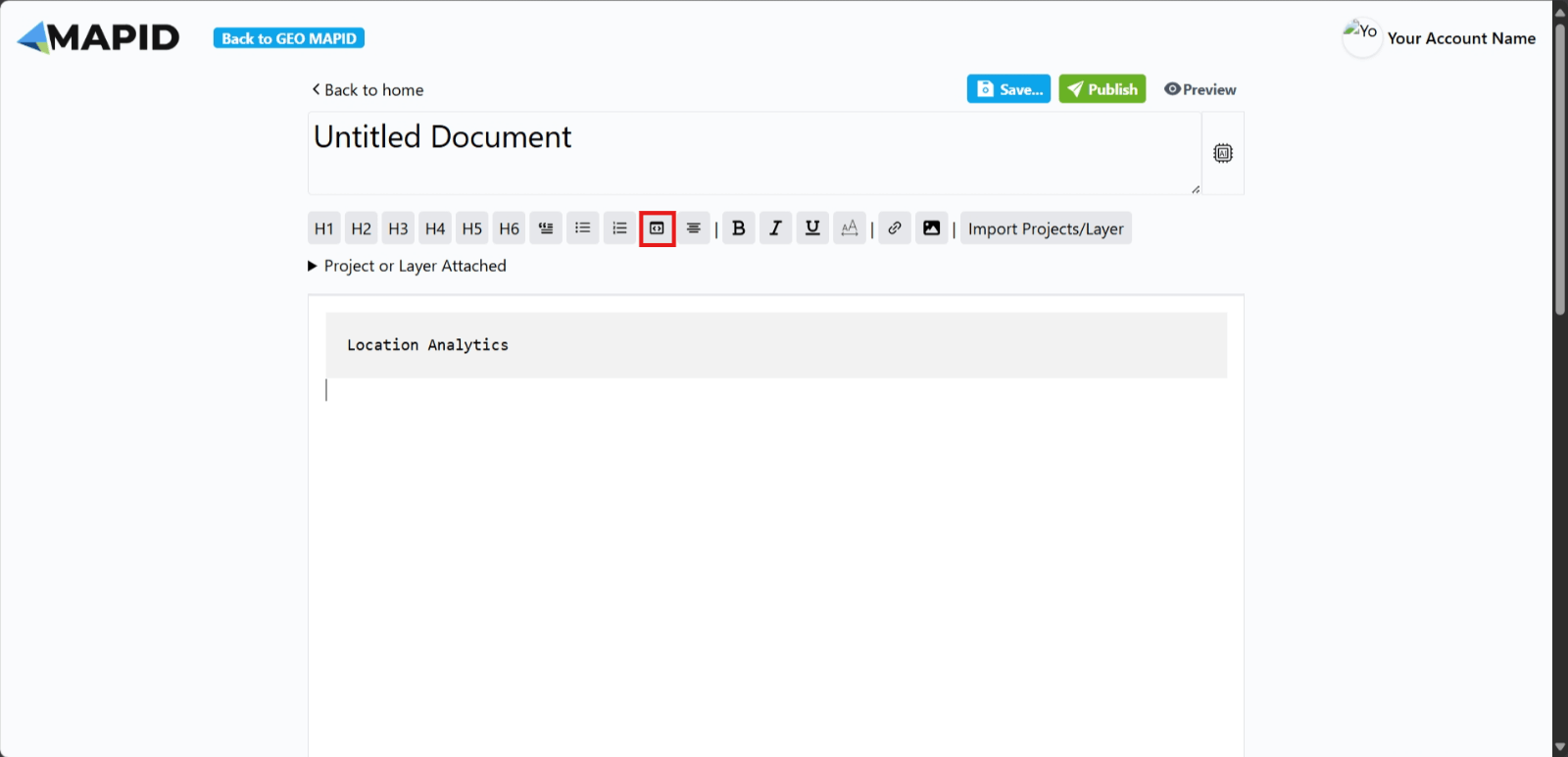
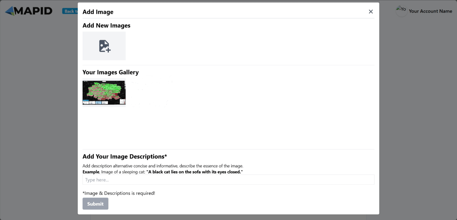
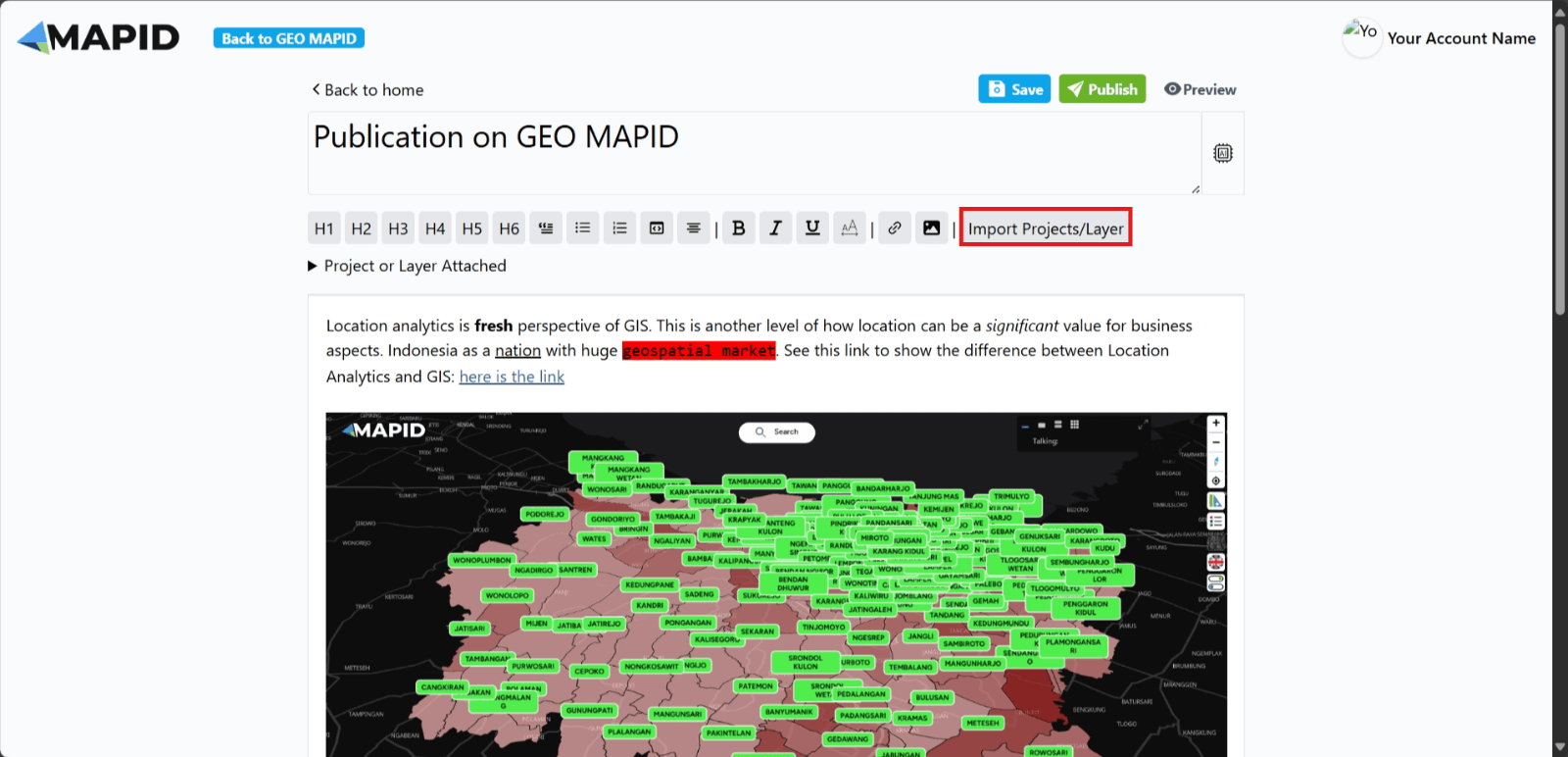
12. Image Button: If you want to add an image to your publication, use this button.
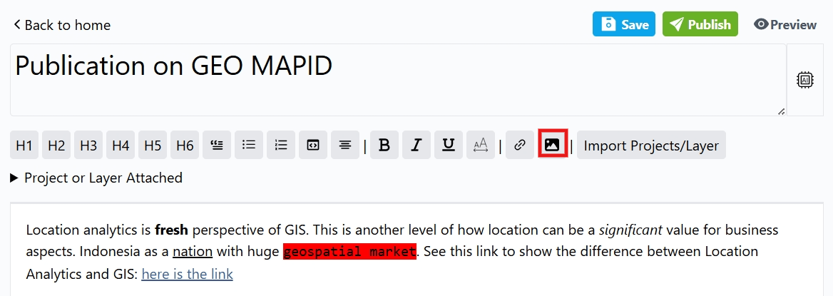
Choose an image, add a description, and click Submit.
The selected image will appear.
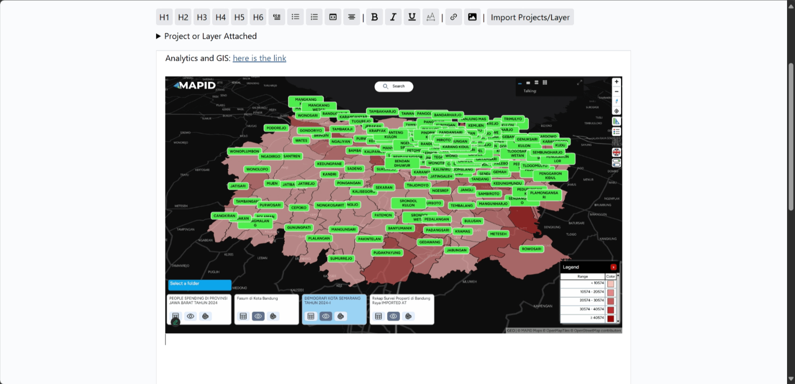
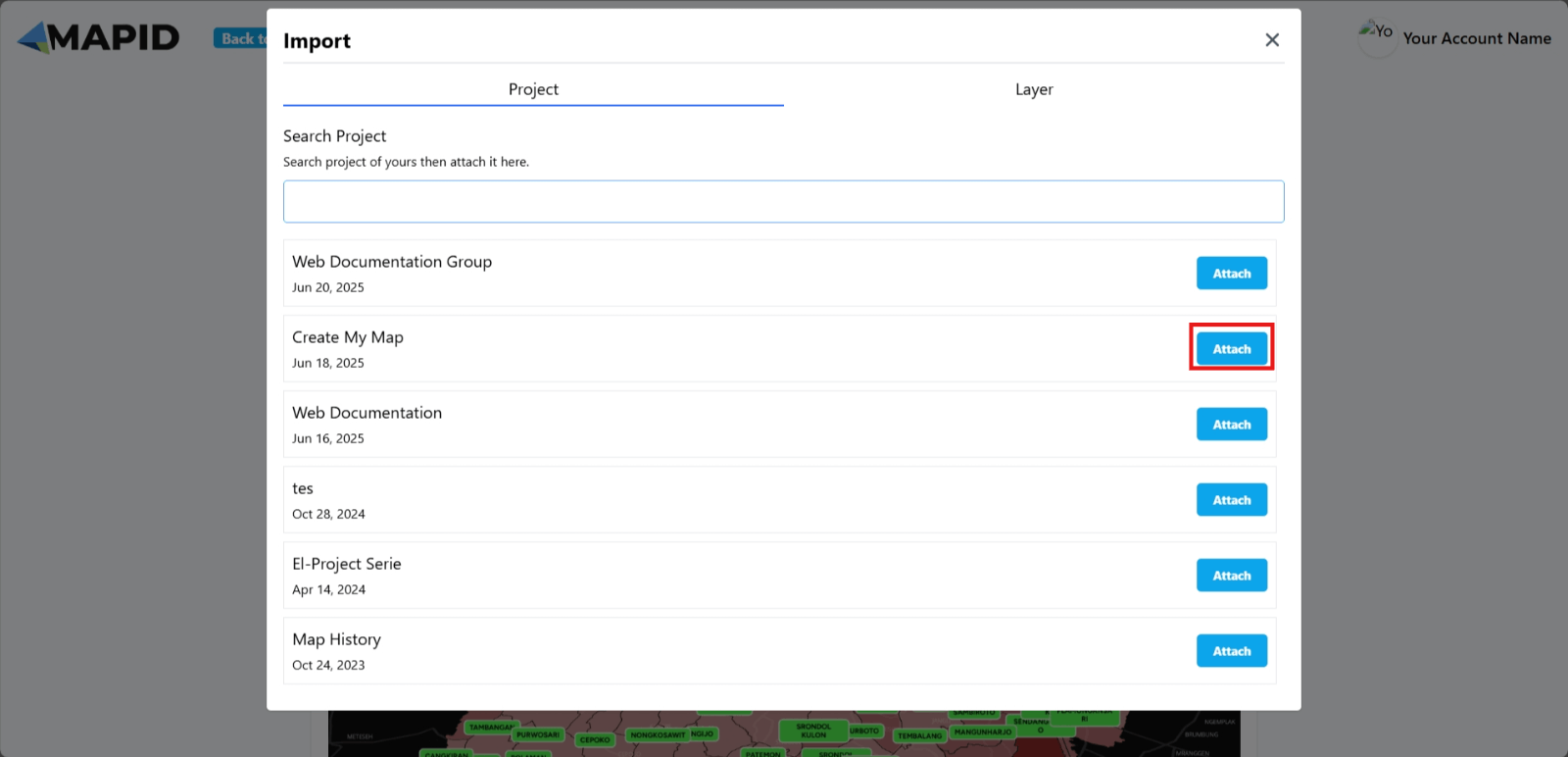
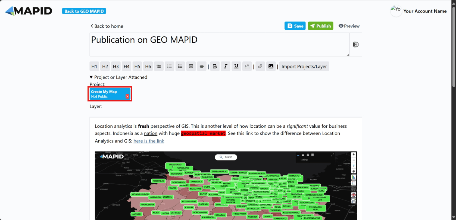
13. Import Project/Layer Button: If you want to add a related project or layer to the text you are writing, use this button.
Select your project or layer and click Attach.
The project/layer you choose will appear.
14. Once you have finished writing the content you want to publish, simply click the Publish button to proceed.
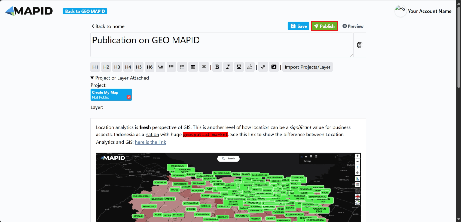
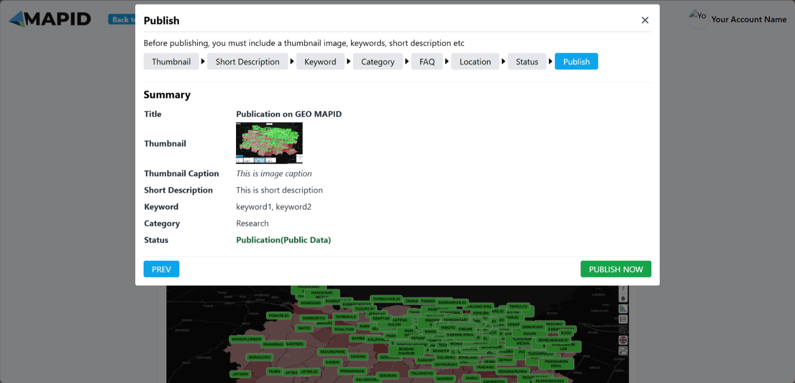
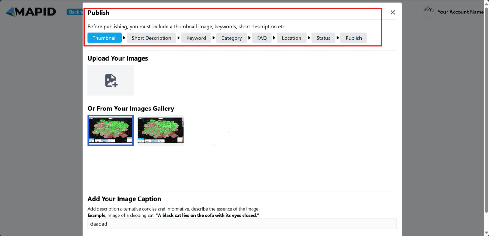
15. A new screen will appear, where you can add a Thumbnail, Short Description, Keyword, Category, FAQ, and Location based on the content you’ve written.
16. When you are ready to publish the content and project/layer you’ve created, you can choose from several status options:
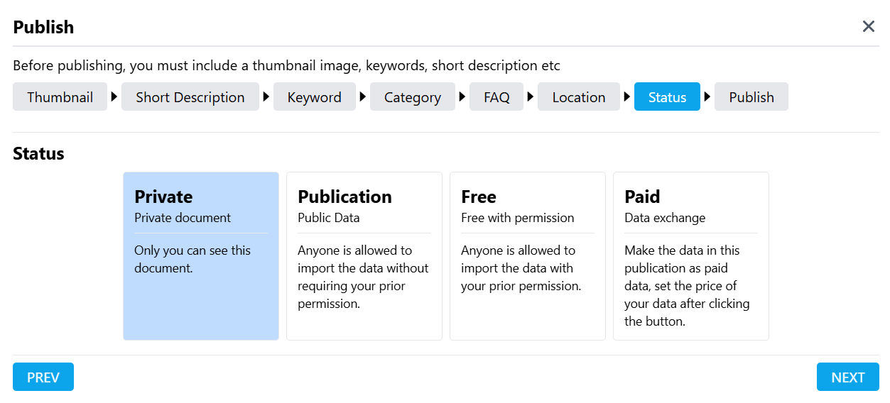
- Private: Only you can view the publication and project/layer.
- Publication: Anyone can import the data without needing prior approval.
- Free: Anyone can import the data, but only with your approval first.
- Paid: If you choose to make the data paid, you can set your own price. Please note that MAPID will add a service fee of 30% of the price you set, plus 10% for VAT.
17. After everything is filled in, click Publish Now as shown in the image. Your publication will appear in the Data menu in GEO MAPID and be accessible to the public.