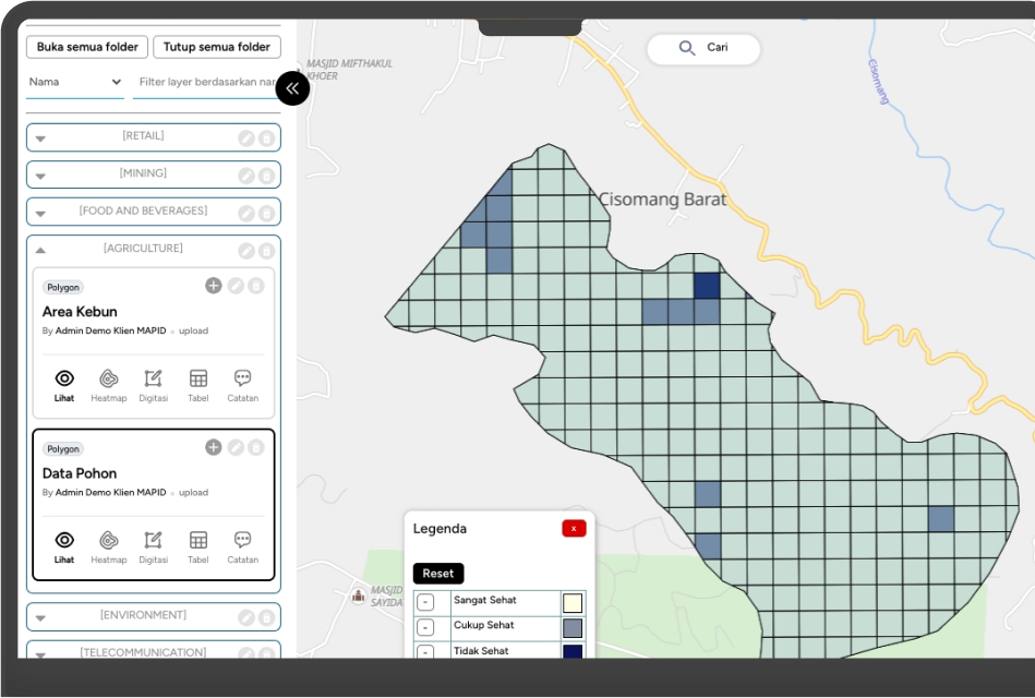
Transform Your Farming with Data-Driven Insights
MAPID delivers precise spatial data and AI-powered tools to help farmers manage resources efficiently and mitigate risks for better yields.
Trusted by top organizations

Key Benefits for Agriculture
Resource Allocation Optimization
Use spatial data to allocate resources more efficiently across your agricultural operations.
Streamlined Prospect Acquisition
Simplify and target prospect acquisition for restaurants and supply chain partners with survey data.
Market Expansion Support
Identify and track new market opportunities to support effective business growth.
Discover What MAPID Solution Can Do
Partner Location Tracking
Identify and monitor optimal locations for potential business partners and market expansion.
GEOMAPID Dashboard
Visualize spatial data to support targeted prospecting and supply chain growth.
Insight MAPID
Analyze local market dynamics to streamline acquisition and expand your reach effectively.
Survey Tools
Conduct focused surveys to gather quality data for partner and customer identification.
Stories from Our Clients
Boost Your Agriculture Operations with Smart Location Solutions
With MAPID's spatial intelligence and market insights, agricultural businesses can optimize resource management and expand effectively with confidence.
